
Introduction
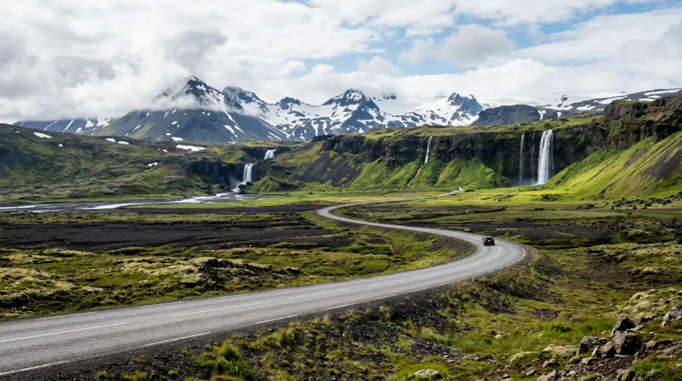
Route 1 circles all of Iceland in 1,322 km (821 miles), connecting South Coast waterfalls, Jökulsárlón Glacier Lagoon, Eastfjords, Lake Mývatn geothermal fields, Akureyri, and West Iceland.
Route Overview & Interactive Stop Map
Nearly all of Route 1 is paved two-lane road with frequent single-lane bridges; allow generous margins for weather stops and photography.
Schematic route plotted from verified stop coordinates. Total base route: 1322 km (821 mi).
Suggested Route Stops & Distances
-
Day 1 — Reykjavík
Capital start after picking up from KEF Airport. — Open destination guide -
Day 2 — Vík í Mýrdal
(+187 km / ~155 min drive)
Seljalandsfoss, Skógafoss, and Reynisfjara black sand coast. -
Day 3 — Jökulsárlón Glacier Lagoon
(+193 km / ~155 min drive)
Floating icebergs and Diamond Beach. -
Day 4 — Egilsstaðir
(+255 km / ~220 min drive)
Dramatic Eastfjords coastal turns and mountain passes. -
Day 5 — Lake Mývatn & Akureyri
(+265 km / ~210 min drive)
Geothermal mud pools, Goðafoss, and northern capital.
Day-by-Day Itinerary
- Days 1–2: Golden Circle & South Coast to Vík (290 km).
- Days 3–4: Skaftafell, Jökulsárlón & Egilsstaðir (460 km).
- Days 5–6: Dettifoss, Lake Mývatn & Akureyri (265 km).
- Days 7–8: West Iceland back to Reykjavík (390 km).
Driving Considerations
- Check
road.isandvedur.isevery morning before driving. - Respect wind warnings, hold car doors tightly, and consider gravel/sand-and-ash protection.
Fuel Consumption & Trip Budget Planning
Base Ring Road loop is 1,322 km (821 miles) plus Golden Circle and peninsula detours (often 1,600–1,900 km total).
Compare Car Rental Options → Estimate Full Road Trip Cost → Calculate Fuel Only
Accommodation Planning Suggestions
Book rural guesthouses early along the Southeast Coast near Höfn and Vík where lodging supply is limited.
Car Rental Considerations
2WD suffices on paved summer Route 1; pick a 4x4 SUV for winter months (Oct–April) or summer F-road excursions.