
Introduction
Combine the panoramic Basse and Grande Corniche roads east of Nice with an inland Provençal loop through Saint-Paul-de-Vence, Grasse, and the turquoise cliffs of Gorges du Verdon.
Route Overview & Interactive Stop Map
While coastal Riviera cities have superb rail links, inland canyon rim roads require your own set of wheels.
Schematic route plotted from verified stop coordinates. Total base route: 380 km (236 mi).
Suggested Route Stops & Distances
-
Day 1 — Nice
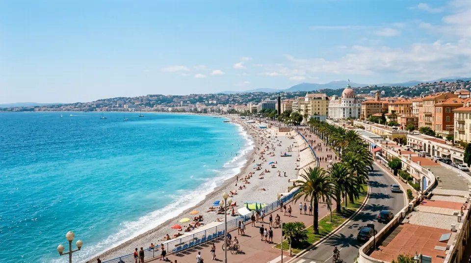
Promenade des Anglais and Car Rental Centre at NCE. — Open destination guide -
Day 1 — Èze & Grande Corniche
(+15 km / ~25 min drive)
Cliff-perched medieval village high above Cap-Ferrat. -
Day 2 — Saint-Paul-de-Vence
(+38 km / ~45 min drive)
Walled Provençal art village and pine hills. -
Day 3 — Gorges du Verdon
(+155 km / ~150 min drive)
Europe’s dramatic limestone river canyon and Lac de Sainte-Croix.
Day-by-Day Itinerary
- Day 1: Nice → Èze → La Turbie Grande Corniche (45 km).
- Day 2: Saint-Paul-de-Vence & Grasse (60 km).
- Days 3–4: Gorges du Verdon & Moustiers-Sainte-Marie (275 km round trip).
Driving Considerations
- Verify Crit’Air sticker status if driving inside Nice’s low emission zone.
- Verdon Gorge rim roads feature narrow cliff ledges—drive clockwise or counter-clockwise unhurriedly in daylight.
Fuel Consumption & Trip Budget Planning
Approx. 380 km loop; mountain climbs in Alpes-de-Haute-Provence slightly raise consumption.
Compare Car Rental Options → Estimate Full Road Trip Cost → Calculate Fuel Only
Accommodation Planning Suggestions
Base near Moustiers-Sainte-Marie or Castellane for an overnight pause along the Verdon Canyon.
Car Rental Considerations
A compact car is ideal for tight canyon passing corners and hilltop village car parks.